World War I
On entry into the war, on 24 May 1915, the entire province of Vicenza was declared a “War Zone”. The territories of the line Crespadoro, Valdagno, Schio were declared “zone of operations” within the “War Zone” of the province of Vicenza.
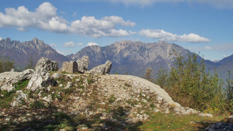
Recoaro was in the front line with the Pian delle Fugazze pass and the Campogrosso and Lora passes, in the operations against the Austro-Hungarian Empire as they were considered possible ways of penetration towards the plain. Work began immediately to set up adequate defensive lines. Works were intensified after the Austrian offensive of 1916 that nearly caused the collapse of the Italian defensive line, stopping on the last offshoots of Pasubio and at the Boule pass, on the Carega group.
A defense line, with a pivot at Campogrosso, was set up along the ridges of Sengio Alto (Sisilla, Baffelan, Cornetto) connecting with Pasubio on one side and the ridges of Fumante, the Campobrun valley, Plische, Tre Croci, Zevola, and Campodavanti peak on the other.
Two large strategic lines were built between the Agno and Leogra valleys, intersecting on the Civillina, forming a large X and constituting several defensive compartments.
The Ortogonal 1, or Destra Leogra, ran along the watershed between the two valleys of the Agno and Leogra (Campogrosso, Passo Xon, Monte Civillina, Monte Magrè, Monte Faedo, Priabona, Monte Pulgo, Torreselle and Monteviale).
The Ortogonal 2, crossing the Destra Leogra, damming the Agno and Leogra Valleys (Campobrun, Passo della Lora, Monte Falcone, Monte Obante, Cima Campodavanti, Monte Spitz, Cima Bocchese, Monte Civillina, Monte Enna and Monte Novegno).
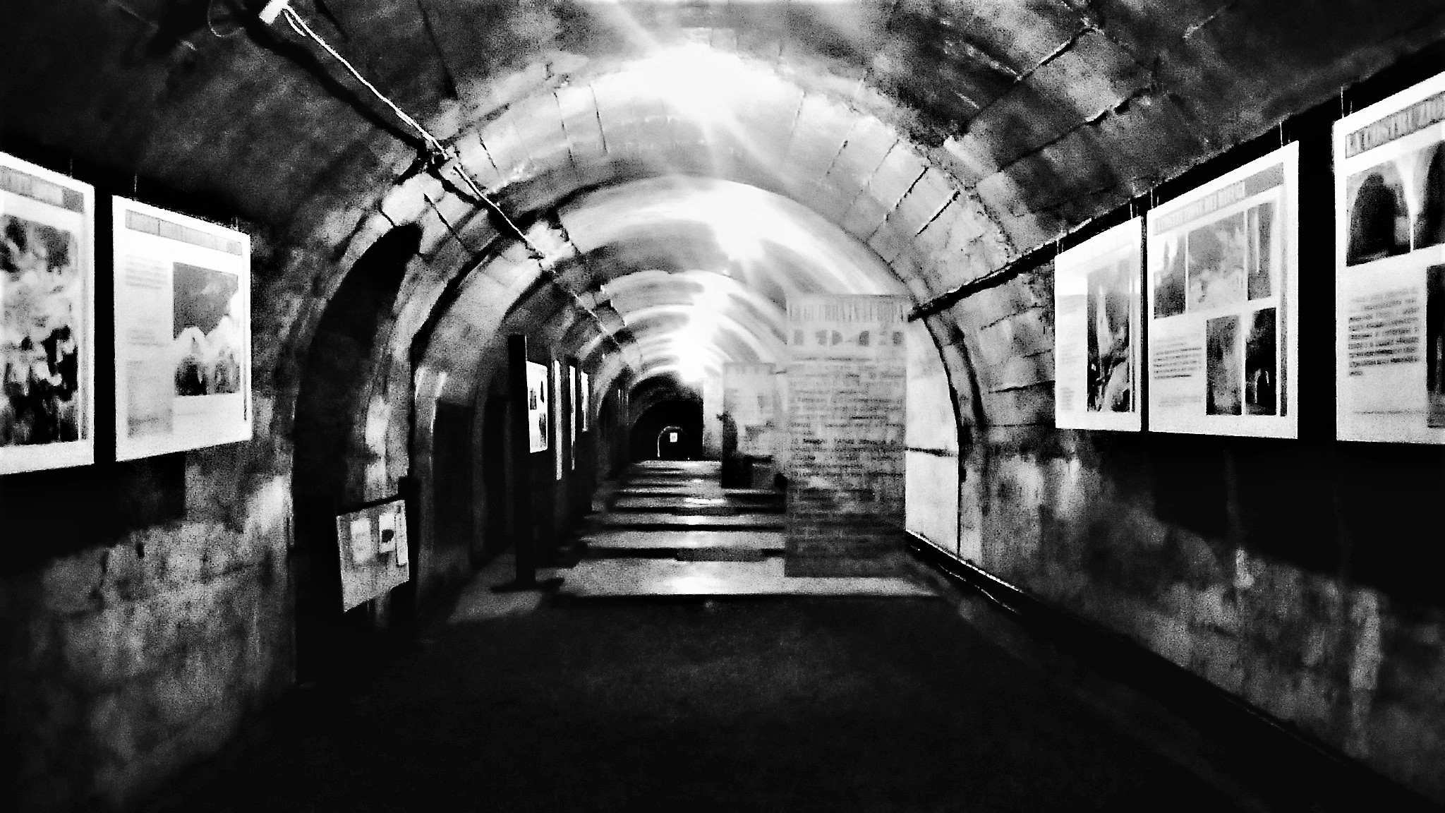
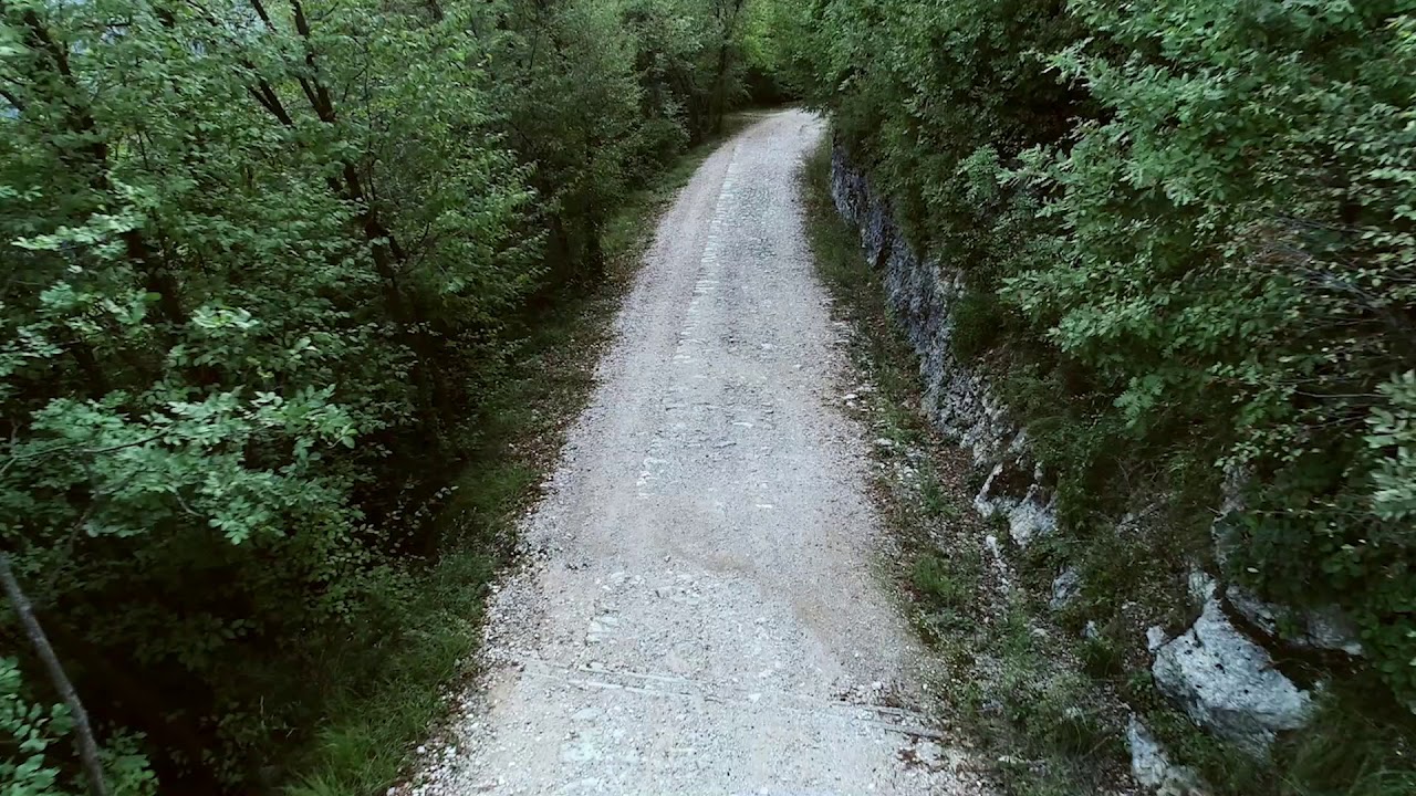
The entire ridge of Mount Civillina is dotted with emplacements, trenches, machine-gun nests, even in caves, shelters in bunkers. A path, called “del Sentinello”, goes up steeply with numerous hairpin bends to serve and supply the defensive line and from it many stairs and paths lead to the various artifacts. On the top there was an observatory from where you can enjoy a complete panorama that embraces the entire arc of the Vicentine Prealps and dominate the underlying plains of the basins of Recoaro Terme and Valli del Pasubio.
World War II
The Agno Valley, especially the area between Cornedo and Recoaro, was affected by events linked to the Second World War.
From a strategic point of view, Recoaro Terme was close both to the Adige Valley, which represented a corridor of supplies for the front on the ridge of the Apennines, the Gothic Line, and to the ministers of the Republic of Salò, which were located between Lake Garda, Verona and Vicenza.
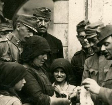
In Valdagno in August 1943, there was a German Air Force unit of about 400 people, the “Special Purpose Flight Information and Control Unit 11” that acted as a military garrison for all detachments in the Agno Valley.
In mid-September 1944, Recoaro Terme became the headquarters of the Oberbefehl Süd-West, the South-West Higher Command of the Wehrmacht, and of the Command of Army Group C led by Field Marshal Albert Kesselring.
From this Command depended all the German military activity in the North of Italy to contrast the Allies on the Tuscan-Emilian Apennine front. At the Fonti Regie and in the city center all the commands of the military administration, of the Army, of the Navy, of the Aviation and of the Engineers of the Wehrmacht with their superior officers, soldiers, auxiliaries and employees to the logistic services for a total of 1500 people were established. It is precisely the presence of the German High Command that explains a unique concentration of air-raid shelters, in rock or on the surface, called bunker..
More about the places of the World Wars
Read insights on points of interest related to the history of the World Wars.